Which Map Do You Need in India?
A route map, a boundary map and a thematic map answer different questions. Here is how to choose the right one.
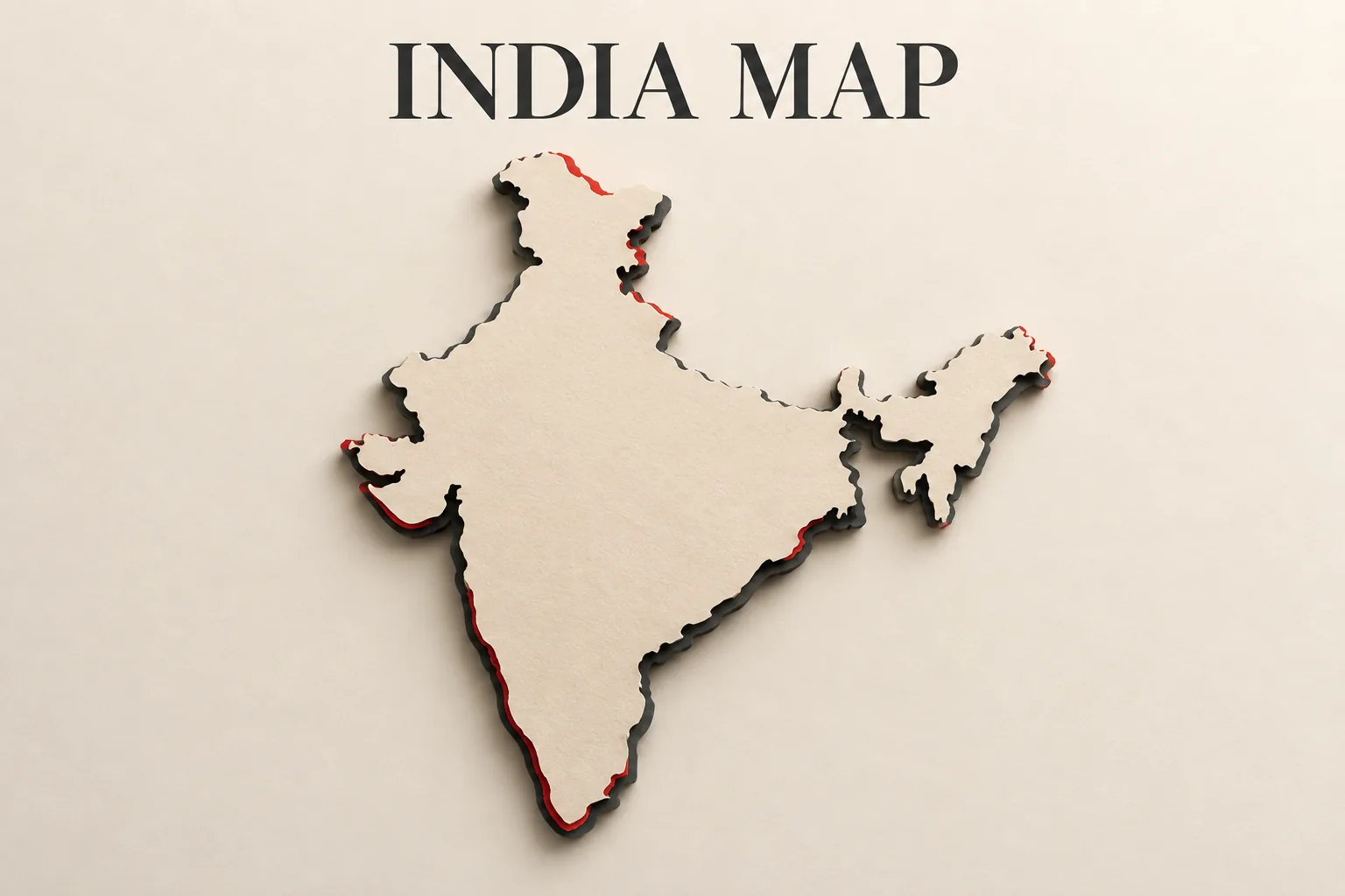
A map is not one thing. The useful choice depends on the question: are you trying to reach a place, understand a boundary, or inspect a particular feature on the ground?
Is the question about reaching a place?
For driving directions, Google Maps is the relevant kind of tool. Its India-localised help page says offline maps can support driving navigation when the entire route is inside the downloaded map area.
That offline option has a clear boundary. It does not provide live traffic, alternative routes, public-transport directions, cycling directions or walking directions. So downloading an area should be treated as preparation for a planned driving route, not as an offline replacement for every connected navigation feature. The route must fit inside the downloaded area, and decisions that depend on changing traffic conditions still require connectivity.
Is the question about a boundary or topography?
A navigation screen is not the same as a map product designed for geographic reference. The Survey of India Online Maps Portal provides access to maps and GIS products for citizens, businesses, government agencies and researchers. Its listed products include topographical maps and village and administrative boundary databases.
That changes where to begin. If the question is about a district, village or administrative boundary, look for the relevant boundary product. If it is about terrain or topographical context, look for the corresponding topographical map. The important distinction is not the appearance of the map; it is the type of information the product is intended to represent.
Is the question about a mapped feature rather than a route?
Bhuvan, described on its official links page as the Indian Geo Platform of ISRO, lists Thematic Services, Disaster Management Services and My Map / My GIS. Its Thematic Data page names layers such as land-use and land-cover, water bodies, flood hazard, erosion and urban sprawl.
This is a different kind of question from asking for turn-by-turn directions. A thematic layer helps frame what is being shown: land use, water or a hazard-related feature, rather than simply a road journey. The layer therefore matters as much as the base map.
The practical rule
Use a route map when the verb is reach. Use a Survey of India product when the verb is locate or check a boundary or topographical context. Use Bhuvan when the verb is inspect a mapped theme.
The answer to map is therefore not one app. It is the representation that matches the decision being made. A route view may be useful for getting somewhere, but it should not automatically be treated as an answer to a boundary or thematic question.